
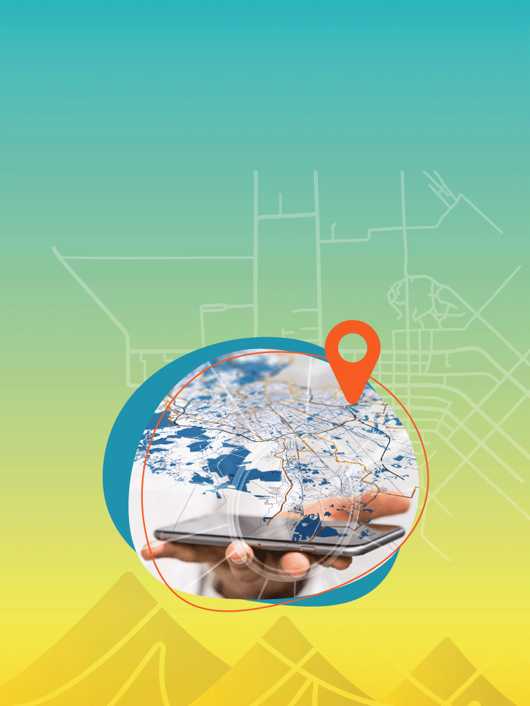

The power of maps at your fingertips.
See the endless possibilities. Chart your course with Geographic Information Systems (GIS).


GIS Enterprise Implementation
Unlock insights. Identify new opportunities.
Which enterprise GIS platform and components are right for you? Our technical experts collaborate with you on all your geospatial needs. You can leverage the power of a feature-rich, web-based enterprise GIS to optimize your operations, identify new opportunities, and mitigate risks by unlocking invaluable location-based insights from data across your organization.
GIS Data Management
Your spatial data can be timely. Accurate. Clear.
You know that reliable and accurate GIS data is key to maximizing value in the spatial world. However, unmanaged data makes it difficult to report timely, accurate, and clear information. Our GIS data management and database services position you to understand and manage your data assets with confidence and efficiency.
GIS Solutions
See the endless possibilities. Chart a course with GIS.
Unsure the best way to collect, manage, and analyze your geospatial data? We specialize in implementing custom and commercial GIS software and applications tailored to your specific needs. With GIS solutions integrated smoothly into your business processes, it’s easier than ever to interact with and analyze map-centric tools, web pages, and dashboards.
Automation
Save time with automated GIS processes.
GIS scripting can save you time and effort by automating GIS tasks and improving the accuracy and consistency of your GIS work. Generate maps, reports, spatial models and more. Easily. Automatically. And to your specifications.
Spatial Analysis
Easily see patterns and relationships in your data.
With thoughtful geospatial analytics it’s easy to see patterns and relationships in your data. We help you master the generation and interpretation of geospatial data, ensuring you use spatial analysis to your greatest advantage. Gain deeper insights and understanding.
Mapping and Cartography
Stunning maps for a modern world.
There are endless maps a modern organization needs, and they must be attractive, readable, and available in digital and paper formats. Our expert cartographers produce custom maps that tell the stories you are looking for.

Esri Authorized Business Partner
Longstanding Esri Business Partner
As an Esri Business Partner since 1992 (#0759), Resource Data brings over 33 years of deep collaboration with the world’s leading GIS platform. With more than 1,700 ArcGIS projects successfully delivered, we combine breadth of experience with deep technical capability.
Benefit from decades of proven expertise, reflected in multiple Esri Partner of the Year and Special Achievement in GIS (SAG) Awards earned on client collaborations. We’re a trusted, Gold Partner uniquely positioned to maximize the value of Esri technology in complex, real-world environments.

What our clients say
Case Studies
Making a difference.
One project at a time.

Rapid Delivery of Energy Company’s Online GIS System
Guidon Energy, a large oil and gas company, required a GIS system to efficiently create and share maps, apps, and data among various user groups. Resource Data implemented the GIS...

911 Addressing Solution Expedites Address Allocation
With an Esri Survey 123 and Experience Builder solution, we cut the 911 address request processing time in half.
Interactive Maps Improve Public Access to Information
As part of our two decade-long partnership with Mat-Su Borough, we worked collaboratively to achieve an impressive gallery of 35 interactive, online, public-facing maps and apps.

WeatherCams: Near Real-Time Data for Safer Flights
A new version of the FAA's weather camera website improves preflight planning and inflight monitoring by giving pilots access to near real-time weather conditions.

Alaska Energy Hub: A GIS Solution helping fund critical energy projects
Resource Data developed the Alaska Energy Hub, a public-facing ArcGIS platform, to help Alaska Municipal League connect communities with resources and funding for energy projects. In its first year, the...

Applying GIS to solve a 200 year mystery
The treasure hunters of the History Channel’s Curse of Oak Island may be closer than ever to solving the islands mysteries with the help of GIS analysis and mapping. As...

Designing and Implementing an Integrated Winter Maintenance Reporting System
This system leverages GIS data from snowplows to monitor weather conditions, monitors areas plowed, and integrates with multiple state systems.

Centralizing Alaska's Lake Data with an Interactive Map Viewer
Alaska’s Division of Sport Fish faced difficulties in synthesizing insights about the state's lake system due to fragmented data held in various locations. Resource Data developed a consolidated, centralized database...

Streamlining Fisheries Data Collection with ORCA: An App Built for At-Sea Conditions
The West Coast Region Observer Program (WCROP) and Resource Data revolutionized marine data collection through the development of the Onboard Record Collection App (ORCA), a tablet-based application designed specifically to...

Industry’s First Scraper Pig Geolocator Tool Enhances Pipeline Operation
Resource Data created an industry-leading visualization tool to accurately identify temperature loss locations along the pipeline. It allows engineers to effectively manage oil flow and operations through data-driven decision making.

FishGen: Revolutionizing Fisheries Research in the Western US
In the fast-paced world of fisheries management, having timely access to accurate genetic data is crucial—but sharing this data across laboratories was a costly and complex challenge. Then came FishGen....

Improving Safety in One of the Worlds Toughest Work Environments
One of the world’s largest Oil and Gas companies realized a 65% reduction in pipe handling drops and 70% reduction in higher severity drops after implementing a mobile application for...

Tasha Jackson
Service Area Lead, GIS
Tasha leads the delivery of innovative geospatial solutions for clients across all industries. Known for her technical excellence and strategic vision, Tasha has over 15 years of experience managing complex GIS and IT initiatives across industries, such as oil and gas, utilities, and state and local government. She is an expert at understanding our clients’ business objectives and guiding organizations through the practical use of GIS tools and products to make informed decisions.
Tasha’s expertise spans GIS solution design and architecture, spatial analysis, enterprise system integrations, and data governance. With a strong foundation in geography and natural resource management from Western Washington University, she combines academic rigor with a practical, solutions-oriented approach. Tasha leads with collaboration and innovation, directing project teams to deliver impactful, user-centered geospatial products. Under her leadership, Resource Data continues to set the standard for delivering GIS services which support our client’s strategic business goals.

Explore a new path.
Focus on what matters most.
-
A unique plan for your unique needs
Your goals are our goals. We take the time to understand your business and map out a pragmatic path forward.
-
Build the right technology solution
You need a solution you will use and that fits within your technology roadmap. We partner with you to get it right—on time and on budget.
-
Propel your business forward
Rediscover the power of your technology. With the right solution, you can focus on what matters most.
Our GIS Services
Chart your course with GIS.


Talk to Tasha Jackson

"*" indicates required fields
What happens
next?
- We'll schedule a conversation
- Share your challenges and goals
- Plan your journey together